Previews
A glimpse of the powerful tools available at your fingertips.
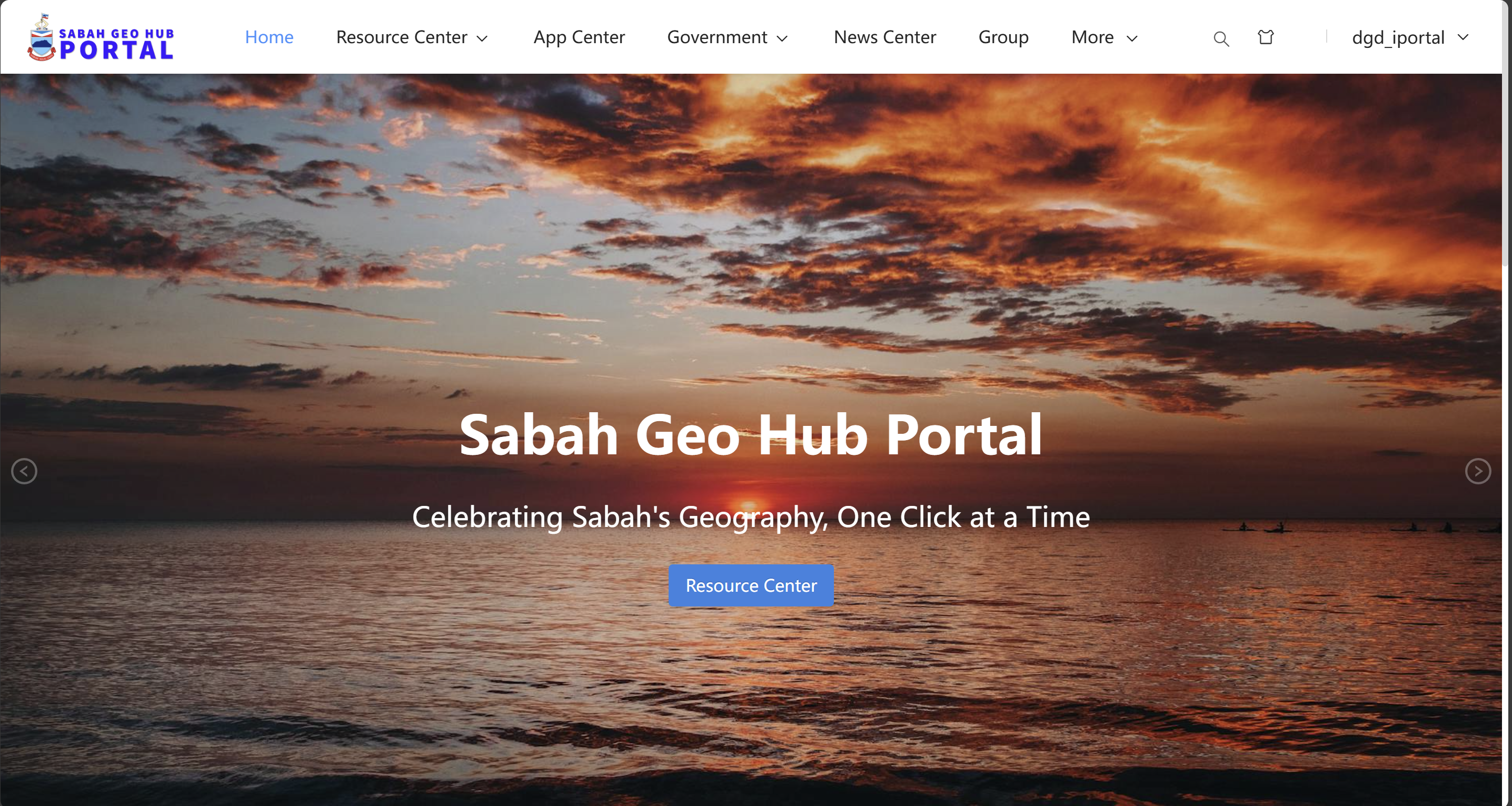
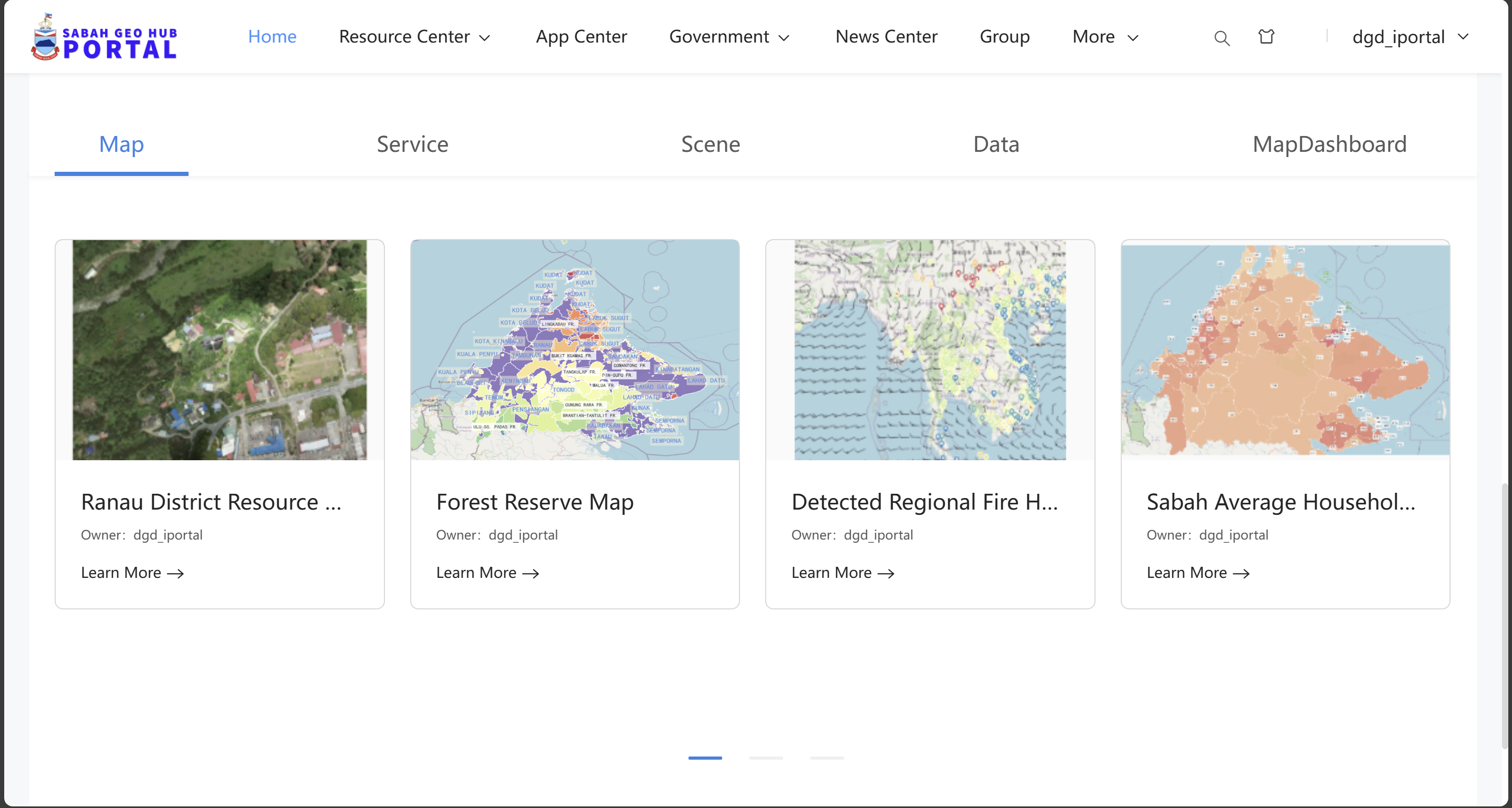
Sabah Geo Hub Portal
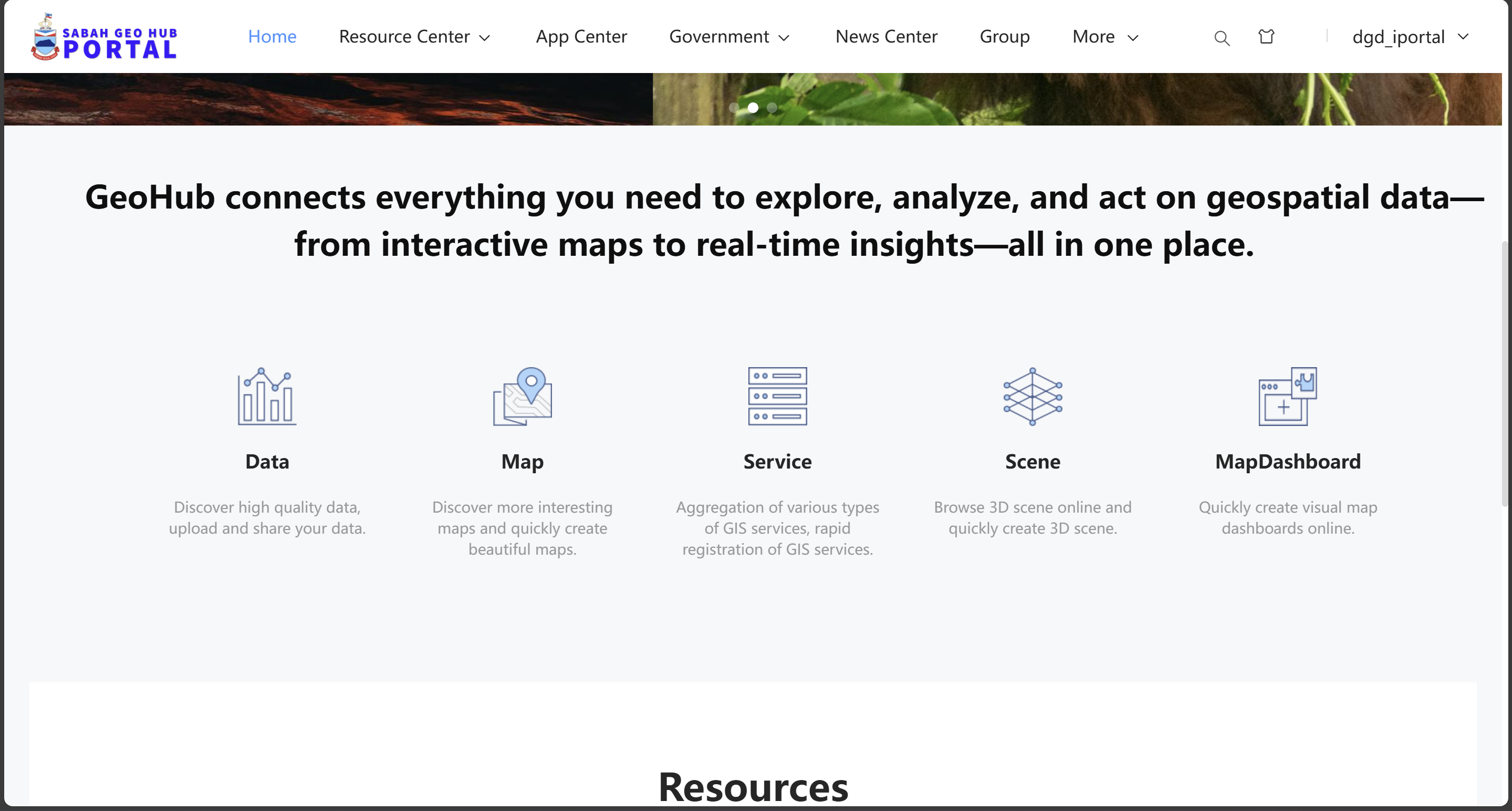
Core Services Hub
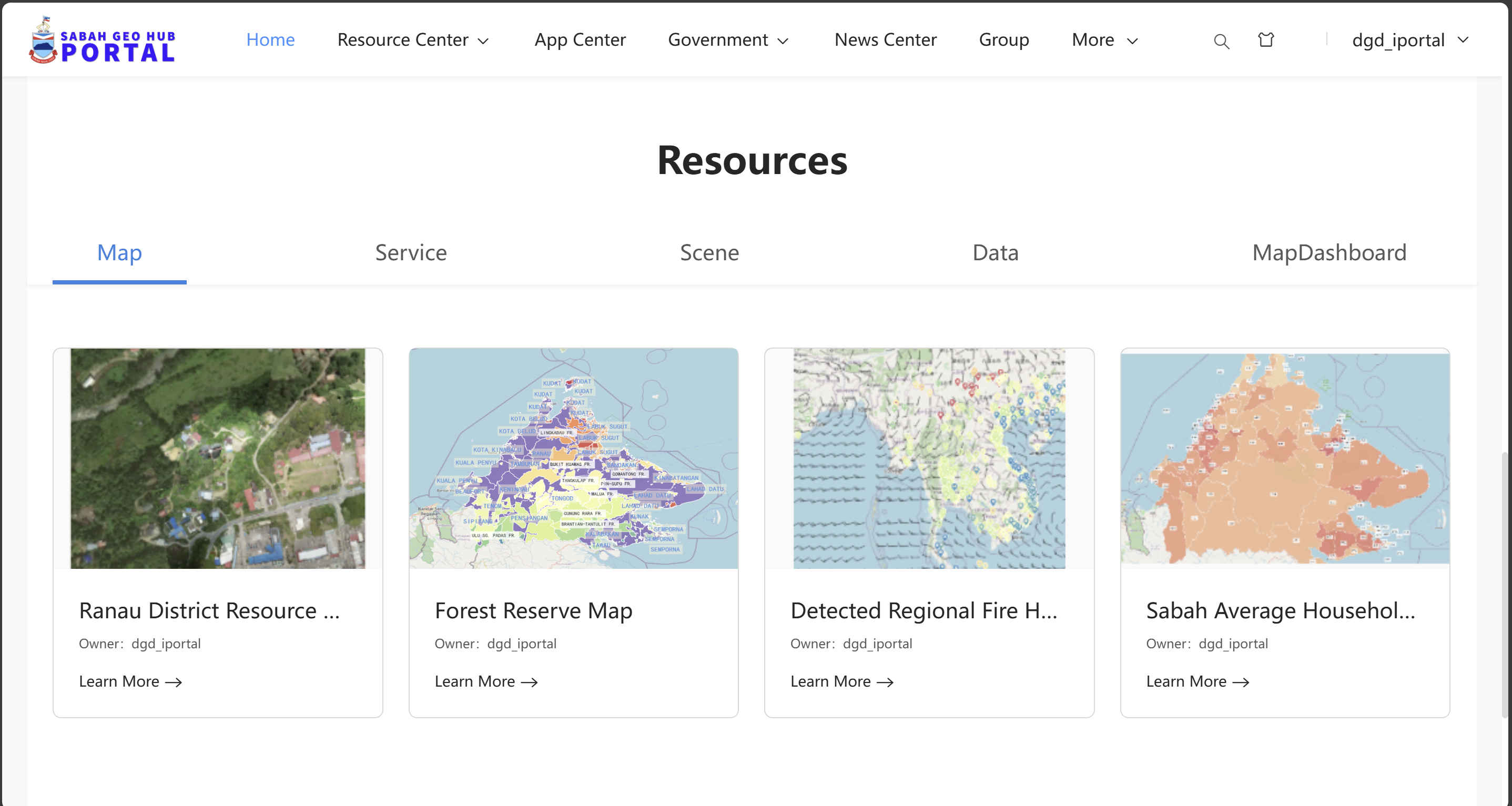
Resource Center
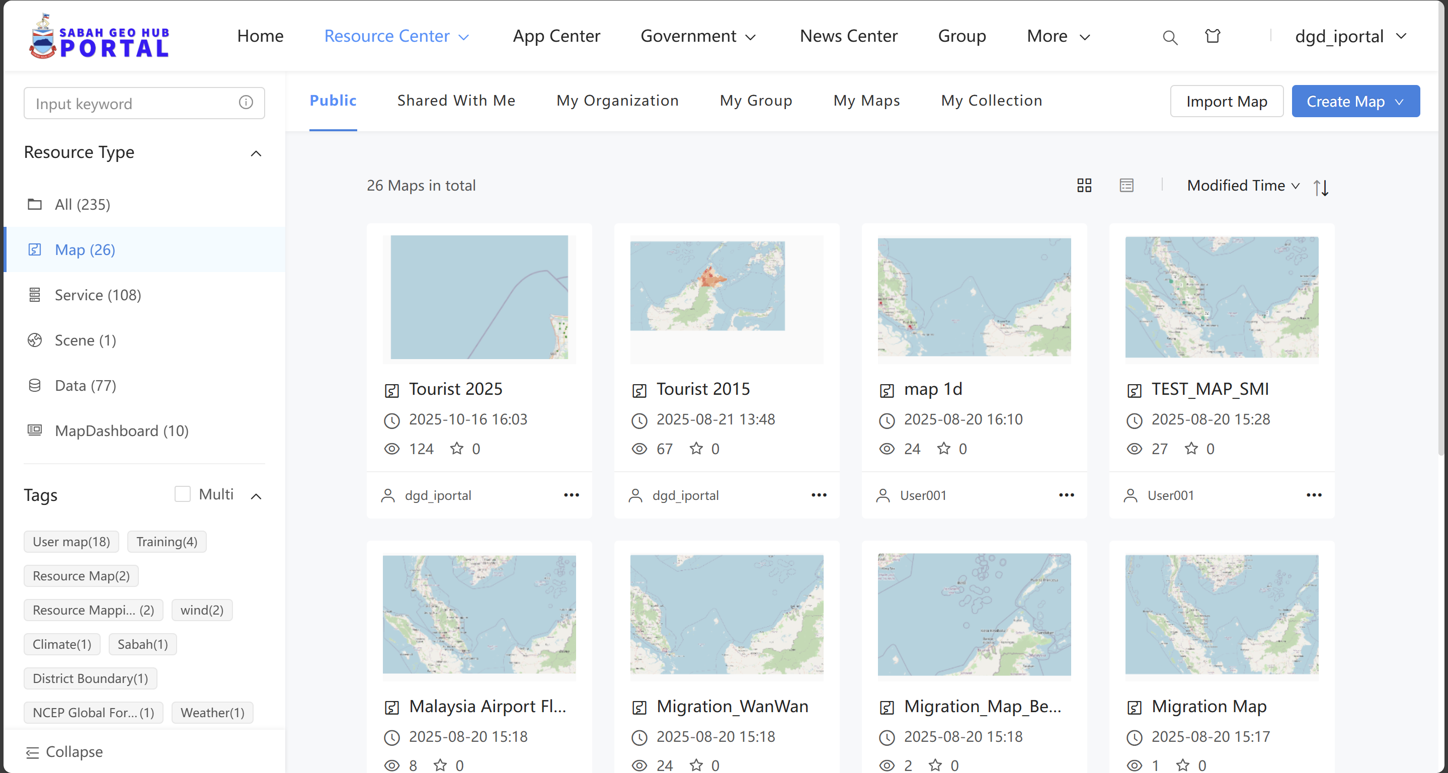
Map Gallery
Data Catalog
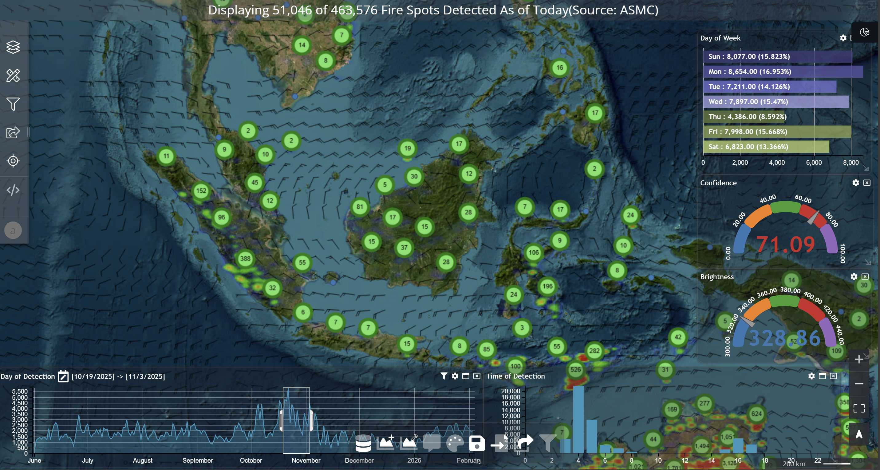
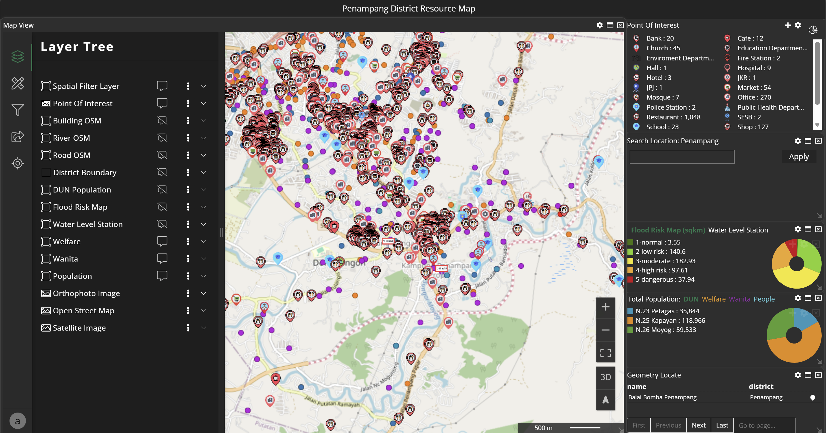
Environmental Monitoring
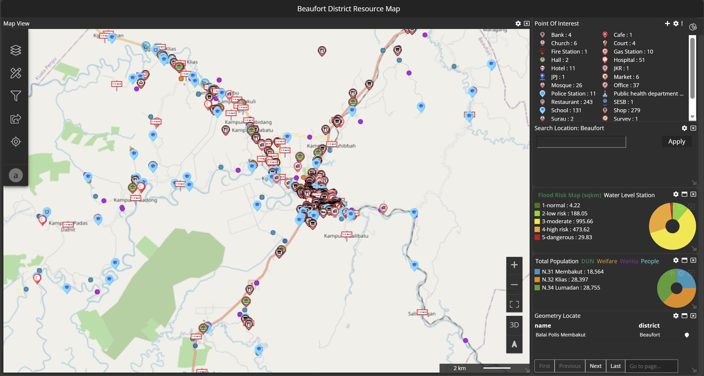
Disaster Risk Analysis
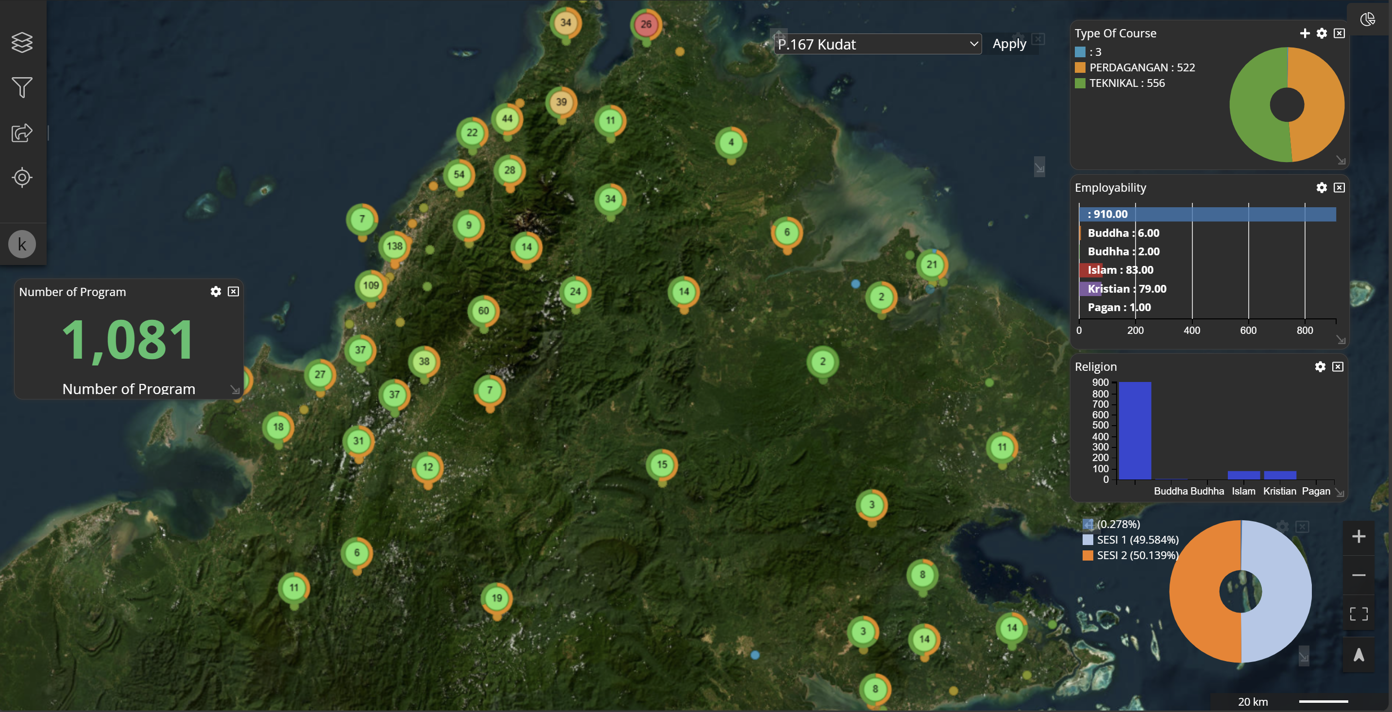
Socio-Economic Dashboard
Infrastructure Planning
Admin Dashboard
User Management
Service Requests
Access Control
System Configuration
Analytics Reports
Mobile Settings